Puerto RicoAtm nearby Popular
nearest Atm


2.262 km
Oriental Bank
63 Carretera 174 Centro Industrial, Bayamón

2.734 km
FirstBank
Drive In Mall Carr. #2, Km. 13.9 Bo, Bayamón

2.844 km
FirstBank
Plaza del Parque 1500, Ave. Comerío, Carr. P.R. 167, Bayamón

3.962 km
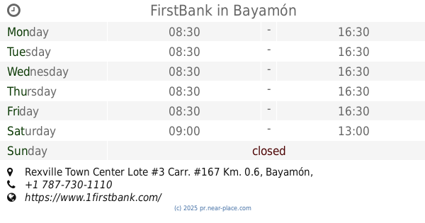
FirstBank
Rexville Town Center Lote #3 Carr. #167 Km. 0.6, Bayamón
📑 all categories
AccountingAdministrative area level 1Administrative area level 2AirportAmusement parkAquariumArt galleryAtmBakeryBankBarBeauty salonBicycle storeBook storeBowling alleyBus stationCafeCampgroundCar dealerCar rentalCar repairCar washCasinoCemeteryChurchCity hallClothing storeColloquial areaConvenience storeCountryCourthouseDentistDepartment storeDoctorElectricianElectronics storeEmbassyEstablishmentFinanceFire stationFloristFoodFuneral homeFurniture storeGas stationGeneral contractorGrocery or supermarketGymHair careHardware storeHealthHindu TempleHome goods storeHospitalInsurance agencyJewelry storeLaundryLawyerLibraryLiquor storeLocal government officeLocalityLocksmithLodgingMeal deliveryMeal takeawayMosqueMovie rentalMovie theaterMoving companyMuseumNatural featureNeighborhoodNight clubPainterParkParkingPet storePharmacyPhysiotherapistPlace of worshipPlumberPoint of interestPolicePoliticalPost officePremiseReal estate agencyRestaurantRoofing contractorRouteRv park, campingSchoolShoe storeShopping mallSpaStadiumStorageStoreSubpremiseSupermarketSynagogueTaxi standTrain stationTransit stationTravel agencyUniversityVeterinary careZoosublocality level 1