School nearby Escuela emilio
Puerto Rico
School nearby Escuela emilio
Escuela emilio
Calle Cereza, Guaynabo Portoryko
contacts phone
:
+1-787
Latitude:
18.348593
, Longitude:
-66.103317
read more
nearest School
6 m
Head Start Piedras Blancas Johan Escuela
Calle Cereza, Guaynabo
School
read more
471 m
Anuradha Maria Prem
Calle Villa Omar, Guaynabo
School
read more
859 m
Escuela Nueva Urbana
00969, Guaynabo
School
read more
863 m
Urban Elementary School of Guaynabo
Guaynabo
School
read more
866 m
Escuela Maria Cadilla En Aguadilla
Escuela Vocacional, Guaynabo
School
read more
919 m
Colegio San Pedro Martir
156 Carazo Street, Guaynabo
School
Point of interest
Establishment
read more
999 m
Escuela Dr. Arturo Morales Carrion
Puerto Rico 873, San Juan
School
read more
1.008 km
Escuela Rafael Martinez Nadal Intermedia
Guaynabo
School
read more
1.024 km
Colegio San Pedro Martir
Guaynabo
School
read more
1.052 km
Academia Sally Olsen
Guaynabo
School
read more
1.106 km
Centro Up & Learn
Rafael Hernandez Street, Guaynabo
School
read more
1.106 km
Centro Up & Learn
Calle Rafael Hernandez, Guaynabo
School
read more
1.139 km
Estacion De Guaguas
4 Calle Betances, Guaynabo
School
read more
1.139 km
Estacion De Guaguas
4 Betances Street, Guaynabo
School
read more
1.141 km
EXPLORA
65 Carazo Street, Guaynabo
School
read more
1.141 km
EXPLORA
65 Calle Carazo, Guaynabo
School
read more
1.262 km
Apartamento de Joe
10 Barbosa Street, Guaynabo
School
read more
1.262 km
Apartamento de Joe
10 Calle Barbosa, Guaynabo
School
read more
1.276 km
Centro Up & Learn
Guaynabo
School
read more
1.447 km
Academia Fowler
Guaynabo
School
read more
1.451 km
Escuela de Bellas Artes Luis A. Ferré
62 Carazo Street, Guaynabo
School
read more
1.472 km
Colegio Sagrados Corazones
Calle Principal, Guaynabo
School
read more
1.476 km
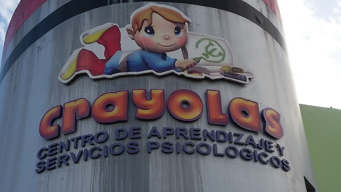
Crayolas, Centro de Aprendizaje
6 Calle Principal, Guaynabo
School
read more
2.034 km
Academia Wesdeyan
Camino Alejandrino, Guaynabo
School
read more
2.208 km
Universidad Mizpa
Km 1.2 Avenida Las Cumbres, Guaynabo
School
read more
📑
all categories
Accounting
Administrative area level 1
Administrative area level 2
Airport
Amusement park
Aquarium
Art gallery
Atm
Bakery
Bank
Bar
Beauty salon
Bicycle store
Book store
Bowling alley
Bus station
Cafe
Campground
Car dealer
Car rental
Car repair
Car wash
Casino
Cemetery
Church
City hall
Clothing store
Colloquial area
Convenience store
Country
Courthouse
Dentist
Department store
Doctor
Electrician
Electronics store
Embassy
Establishment
Finance
Fire station
Florist
Food
Funeral home
Furniture store
Gas station
General contractor
Grocery or supermarket
Gym
Hair care
Hardware store
Health
Hindu Temple
Home goods store
Hospital
Insurance agency
Jewelry store
Laundry
Lawyer
Library
Liquor store
Local government office
Locality
Locksmith
Lodging
Meal delivery
Meal takeaway
Mosque
Movie rental
Movie theater
Moving company
Museum
Natural feature
Neighborhood
Night club
Painter
Park
Parking
Pet store
Pharmacy
Physiotherapist
Place of worship
Plumber
Point of interest
Police
Political
Post office
Premise
Real estate agency
Restaurant
Roofing contractor
Route
Rv park, camping
School
Shoe store
Shopping mall
Spa
Stadium
Storage
Store
Subpremise
Supermarket
Synagogue
Taxi stand
Train station
Transit station
Travel agency
University
Veterinary care
Zoo
sublocality level 1
↑