Bakery nearby Georgies and Reinis Donuts
Puerto Rico
Bakery nearby Georgies and Reinis Donuts
Georgies and Reinis Donuts
Cedro Arriba, Naranjito 00782, Puerto Rico
contacts phone
:
+1 787-869-0957
Latitude:
18.2496532
, Longitude:
-66.285425
larger map & directions
read more
nearest Bakery
976 m
Kmilas Bakery
Carretera 152 Km 3.0 Bo. Quebradillas Puerto Rico, Barranquitas
Bakery
read more
1.545 km
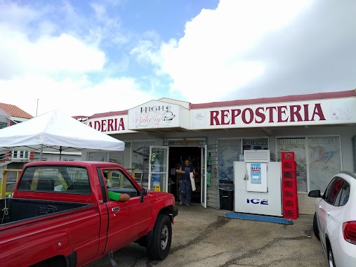
Panaderia high bakery #2
PR-, Puerto Rico 152, Barranquitas
Bakery
read more
3.384 km
Mana Bakery
Bakery
read more
4.352 km
Panadería y Repostería Rico Pan
Barrancas
Bakery
read more
4.705 km
Sweet Stop Bakery Shop And Pastries
Hc 75 Box 1112, Naranjito
Bakery
read more
4.705 km
Sweet Stop Bakery And Coffee Bar
Carr 152 Km 18.1
Bakery
read more
4.718 km
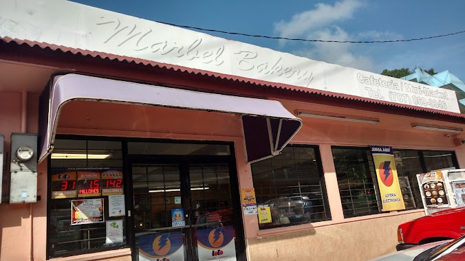
Marbel Bakery
Bakery
read more
5.052 km
Kmilas Bakery
Km. 3.0, Puerto Rico 152
Bakery
read more
9.704 km
Panaderia Helechal
Helechal
Bakery
read more
10.116 km
Panaderia El Gran Maestro
Puerto Rico 165, Toa Alta
Bakery
read more
10.169 km
Cafetería Y Panaderia Los Hermanos
Puerto Rico 167, Bayamón
Bakery
read more
10.556 km
Palmarejo Bakery 2
Bakery
read more
12.007 km
El Caviar de los Dulces - Bistro & Coffee Shop
Puerto Rico 157, Orocovis
Bakery
read more
13.319 km
La Aiboniteña Panaderia Y Reposteria
Bakery
read more
13.976 km
Panaderia Y Reposteria La Panoramica
Bakery
read more
14.167 km
Angel's Bakery
Bakery
read more
14.551 km
Panaderia Las 40
Calle 10, Morovis
Bakery
read more
15.679 km
Sabanera Bakery & Deli
Cidra
Bakery
read more
15.926 km
Panaderia Isla Bella
Puerto Rico 174, Bayamón
Bakery
read more
16.237 km
Las Cumbres Panaderia
Bayamón
Bakery
read more
17.518 km
Enhorabuena Dulzuras
Calle Marginal, Bayamón
Bakery
read more
18.088 km
La Esquina de la Repostería
P-58 Avenida Santa Juanita, Bayamón
Bakery
read more
18.227 km
Panaderia & Reposteria La Galería
Calle India, Bayamón
Bakery
read more
18.971 km
Bakery Las Delicias
Avenida José De Diego, Cayey
Bakery
read more
19.968 km
Panadería Nuestro Pan
Bayamón
Bakery
read more
📑
all categories
Accounting
Administrative area level 1
Administrative area level 2
Airport
Amusement park
Aquarium
Art gallery
Atm
Bakery
Bank
Bar
Beauty salon
Bicycle store
Book store
Bowling alley
Bus station
Cafe
Campground
Car dealer
Car rental
Car repair
Car wash
Casino
Cemetery
Church
City hall
Clothing store
Colloquial area
Convenience store
Country
Courthouse
Dentist
Department store
Doctor
Electrician
Electronics store
Embassy
Establishment
Finance
Fire station
Florist
Food
Funeral home
Furniture store
Gas station
General contractor
Grocery or supermarket
Gym
Hair care
Hardware store
Health
Hindu Temple
Home goods store
Hospital
Insurance agency
Jewelry store
Laundry
Lawyer
Library
Liquor store
Local government office
Locality
Locksmith
Lodging
Meal delivery
Meal takeaway
Mosque
Movie rental
Movie theater
Moving company
Museum
Natural feature
Neighborhood
Night club
Painter
Park
Parking
Pet store
Pharmacy
Physiotherapist
Place of worship
Plumber
Point of interest
Police
Political
Post office
Premise
Real estate agency
Restaurant
Roofing contractor
Route
Rv park, camping
School
Shoe store
Shopping mall
Spa
Stadium
Storage
Store
Subpremise
Supermarket
Synagogue
Taxi stand
Train station
Transit station
Travel agency
University
Veterinary care
Zoo
sublocality level 1
↑