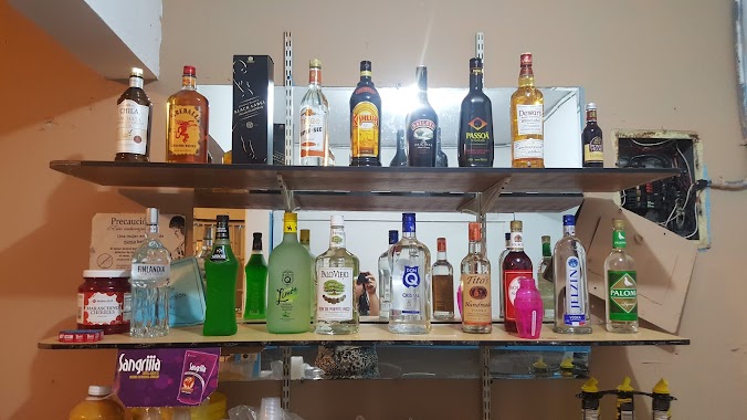
Bar nearby Colmado Cafetin El Dorado
Puerto Rico
Bar nearby Colmado Cafetin El Dorado
Colmado Cafetin El Dorado
Puerto Rico 174, 00957, Guaynabo, Sonadora, PR Puerto Rico
contacts phone
:
+1-787
Latitude:
18.288286
, Longitude:
-66.1400808
larger map & directions
read more
nearest Bar
409 m
Bar La Gran Parada
Bar
read more
1.366 km
Monzon Truck BAR
Puerto Rico 174, Bayamón
Bar
read more
1.866 km
Colmado EL Alto
Bar
read more
1.903 km
Colmado Diaz
Camino La Marquesa, Guaynabo
Bar
read more
1.949 km
Mi Balcon Familiar
Carr 812, Bayamón
Bar
read more
2.691 km
Colmado Cafetín manolito
Bar
read more
3.382 km
Pato's Pub Toa Alta Piñas
Calle 4, Bayamón
Bar
read more
4.086 km
La Bayoya
PR-834, Guaynabo
Bar
read more
4.109 km
Agencia Hipica 314
Calle Minillas, Caguas
Bar
read more
4.187 km
Bar Wiso Cotto
Calle Casilla Rivera, Bayamón
Bar
read more
4.259 km
La Casita De Papá
174 Puerto Rico 156, Caguas
Bar
read more
4.39 km
Bar La Ranchera
Puerto Rico 173, Guaynabo
Bar
read more
4.672 km
El Foul Ball
Bar
read more
4.771 km
Bar Apolo
Bar
read more
4.874 km
Agencia Hipica 842 El Balcon
Puerto Rico 173, Caguas
Bar
read more
5.041 km
Unik Salon By Edward Barber
Night club
Bar
Point of interest
Establishment
read more
5.043 km
Kapicu Sport Bar
Bar
read more
5.177 km
El Pikaito
Aguas Buenas
Bar
read more
5.188 km
El EMBELECO DE Jorge
Puerto Rico 835, Guaynabo
Bar
read more
5.241 km
Lechonera Flores
Puerto Rico 156, Aguas Buenas
Bar
read more
5.249 km
Angel
Aguas Buenas
Bar
read more
5.618 km
Yankee sport bar
Puerto Rico 7790, Comerío
Bar
read more
5.664 km
Black Bar
Local A, PR-1 Km 22.9 Puerto Rico 1 Bo. Rio, San Juan
Bar
read more
5.898 km
El Rancho de Nando
Bar
read more
6.977 km
Agencia Hipica 553
Carr 777, Caguas
Bar
read more
📑
all categories
Accounting
Administrative area level 1
Administrative area level 2
Airport
Amusement park
Aquarium
Art gallery
Atm
Bakery
Bank
Bar
Beauty salon
Bicycle store
Book store
Bowling alley
Bus station
Cafe
Campground
Car dealer
Car rental
Car repair
Car wash
Casino
Cemetery
Church
City hall
Clothing store
Colloquial area
Convenience store
Country
Courthouse
Dentist
Department store
Doctor
Electrician
Electronics store
Embassy
Establishment
Finance
Fire station
Florist
Food
Funeral home
Furniture store
Gas station
General contractor
Grocery or supermarket
Gym
Hair care
Hardware store
Health
Hindu Temple
Home goods store
Hospital
Insurance agency
Jewelry store
Laundry
Lawyer
Library
Liquor store
Local government office
Locality
Locksmith
Lodging
Meal delivery
Meal takeaway
Mosque
Movie rental
Movie theater
Moving company
Museum
Natural feature
Neighborhood
Night club
Painter
Park
Parking
Pet store
Pharmacy
Physiotherapist
Place of worship
Plumber
Point of interest
Police
Political
Post office
Premise
Real estate agency
Restaurant
Roofing contractor
Route
Rv park, camping
School
Shoe store
Shopping mall
Spa
Stadium
Storage
Store
Subpremise
Supermarket
Synagogue
Taxi stand
Train station
Transit station
Travel agency
University
Veterinary care
Zoo
sublocality level 1
↑