Cafe nearby La Taza Coffe Shop & Acai Bar
Puerto Rico
Cafe nearby La Taza Coffe Shop & Acai Bar
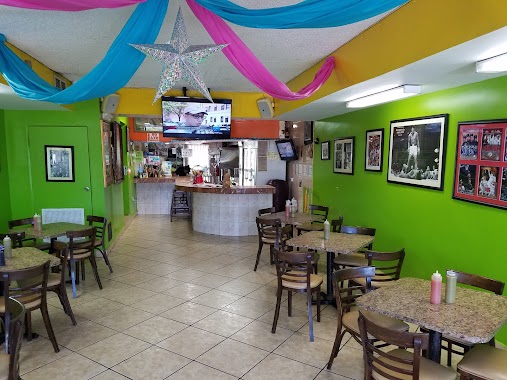
La Taza Coffe Shop & Acai Bar
Canovanas, Canóvanas 00729, Puerto Rico
contacts phone
:
+1-787
Latitude:
18.3761392
, Longitude:
-65.883042
larger map & directions
read more
nearest Cafe
32 m
El Meson Sandwiches
PR-3 KM188, Route 66 Outlet Local #86, Canóvanas
Cafe
read more
141 m
Le Crepe Sous La Tour
Canovanas
Cafe
read more
1.258 km
Forty's Cafe
9825 Calle 15, Canóvanas
Cafe
read more
1.41 km
Kiosco Las Batidas
Puerto Rico 9959, Canóvanas
Cafe
read more
1.978 km
Cafeteria Lucy
San Isidro
Cafe
read more
2.192 km
Panaderia La Familia
33, Calle 46 Villas De Loíza Canóvanas, Río Grande
Cafe
read more
3.179 km
El Pulpo
Calle Reina de las Flores, Canóvanas
Cafe
read more
3.201 km
Panaderia Mi Familia
Calle Reina de las Flores, Canóvanas
Cafe
read more
3.208 km
Bakery La Familia #4
Canóvanas
Cafe
read more
3.372 km
La Vallita
Carretera 959 km. 1.2 Sector Casiano Cepeda, Rio Grande P.R. 00745
Cafe
read more
3.759 km
El Rey Del Mondongo
00745,
Cafe
read more
3.926 km
Lemon To Go
Puerto Rico 3, Río Grande
Cafe
read more
4.354 km
DG's Pizza
Puerto Rico 185, Canóvanas
Cafe
read more
4.418 km
Gustitos Doña Gladys
Avenida Margarita, Carolina
Cafe
read more
4.418 km
Gustitos Doña Gladys
Calle Margarita, Carolina
Cafe
read more
4.444 km
Dulce Rinconcito Local Ice Cream
Carolina
Cafe
read more
4.545 km
Starbucks
KM 14.3 Puerto Rico 3, Carolina
Cafe
read more
4.609 km
Panadería El Yunque
A,, 2 Calle 20, Río Grande
Cafe
read more
4.925 km
El Gary
Calle Grovich the Kid, Carolina
Cafe
read more
10.254 km
Holy Grounds Cafe
Carolina
Cafe
read more
12.456 km
Barcelona Bakery & Deli
Carr. 848 km 2.0 Saint Just, Trujillo Alto
Cafe
read more
12.783 km
Los 3 Pinos
Campamento Piñones
Cafe
read more
13.271 km
Cafeteria Iturregui
Carolina
Cafe
read more
13.945 km
Area 51 Coffee Cake
Ramal 8, San Juan
Cafe
read more
15.188 km
Colm. Caf. La Campesina
San Juan
Cafe
read more
📑
all categories
Accounting
Administrative area level 1
Administrative area level 2
Airport
Amusement park
Aquarium
Art gallery
Atm
Bakery
Bank
Bar
Beauty salon
Bicycle store
Book store
Bowling alley
Bus station
Cafe
Campground
Car dealer
Car rental
Car repair
Car wash
Casino
Cemetery
Church
City hall
Clothing store
Colloquial area
Convenience store
Country
Courthouse
Dentist
Department store
Doctor
Electrician
Electronics store
Embassy
Establishment
Finance
Fire station
Florist
Food
Funeral home
Furniture store
Gas station
General contractor
Grocery or supermarket
Gym
Hair care
Hardware store
Health
Hindu Temple
Home goods store
Hospital
Insurance agency
Jewelry store
Laundry
Lawyer
Library
Liquor store
Local government office
Locality
Locksmith
Lodging
Meal delivery
Meal takeaway
Mosque
Movie rental
Movie theater
Moving company
Museum
Natural feature
Neighborhood
Night club
Painter
Park
Parking
Pet store
Pharmacy
Physiotherapist
Place of worship
Plumber
Point of interest
Police
Political
Post office
Premise
Real estate agency
Restaurant
Roofing contractor
Route
Rv park, camping
School
Shoe store
Shopping mall
Spa
Stadium
Storage
Store
Subpremise
Supermarket
Synagogue
Taxi stand
Train station
Transit station
Travel agency
University
Veterinary care
Zoo
sublocality level 1
↑