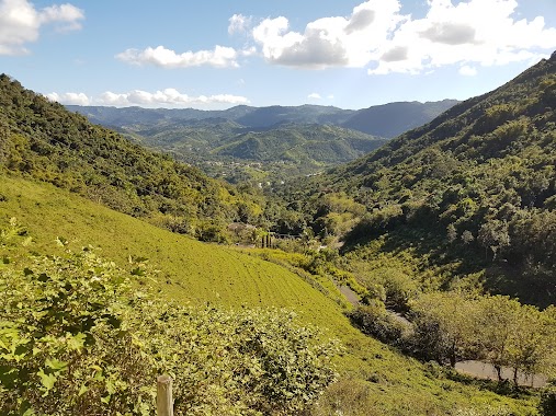
Park nearby Bosque Carite
Puerto Rico
Park nearby Bosque Carite
Bosque Carite
Puerto Rico Puerto Rico
contacts phone
:
+1-787
Latitude:
18.0955116
, Longitude:
-66.061223
read more
nearest Park
2.733 km
Area Recreativa Real Patillas
Patillas
Park
read more
4.051 km
Pedacito de Utopía
Carre 184 km 27.9, Cayey
Campground
Lodging
Park
Point of interest
Establishment
read more
4.989 km
Cancha De Campo Alegre
PR-745, San Lorenzo
Park
read more
5.471 km
Recreativo Las Vegas Park
Park
read more
5.471 km
Parque Recreativo Las Vegas
Park
read more
9.149 km
Reserva Natural José Pepe Hoyos
Park
read more
9.76 km
Parque Cosme de León
Palmas
Park
read more
10.147 km
Centro Comunal Luis Muñoz Grillo
Parque Pasivo Pelota, Caguas
Park
read more
10.176 km
Parque La Loma
Park
read more
11.34 km
Hacienda Mí Remanso
Park
read more
11.348 km
Parque de Quemados
Puerto Rico 788, San Lorenzo
Park
read more
11.848 km
Hacienda Brisas de Chuito
Campground
Lodging
Park
Point of interest
Establishment
read more
12.427 km
Parque Villa Esperanza
115, 103 Calle Fraternidad, Caguas
Park
read more
12.975 km
Bosque de Pinos Cayey
Park
read more
13.119 km
Sede ACBPR (Polideportivo)
Calle Luxemburgo, Caguas
Park
read more
13.182 km
Parque Villa Del Rey
Calle Luxemburgo, Caguas
Park
read more
14.096 km
Parque Pelota Turabo Garden
Caguas
Park
read more
14.482 km
Parque Béisbol José Mercado
98, 66 Calle Woodrow Wilson, Caguas
Park
read more
14.612 km
Cancha Bonneville Manor
Caguas
Park
read more
14.915 km
Estadio Marcelino Blondet
Av. José A. Torres, Guayama
Park
read more
16.087 km
Sector Martin Reyes Montellano
Sector Martin Reyes Montellano, Cidra
Park
read more
16.349 km
Parque De pelota Del Bo. Rabanal Sect. Fatima Cidra
Puerto Rico 173, Cidra
Park
read more
20.46 km
Cementerio Viejo
Calle Algarin
Park
read more
20.541 km
Coliseo Hector Pito Carrasquillo
Park
read more
20.816 km
Plaza de Recreo Antonio R. Barceló
Calle Dr. Almodovar, Juncos
Park
read more
📑
all categories
Accounting
Administrative area level 1
Administrative area level 2
Airport
Amusement park
Aquarium
Art gallery
Atm
Bakery
Bank
Bar
Beauty salon
Bicycle store
Book store
Bowling alley
Bus station
Cafe
Campground
Car dealer
Car rental
Car repair
Car wash
Casino
Cemetery
Church
City hall
Clothing store
Colloquial area
Convenience store
Country
Courthouse
Dentist
Department store
Doctor
Electrician
Electronics store
Embassy
Establishment
Finance
Fire station
Florist
Food
Funeral home
Furniture store
Gas station
General contractor
Grocery or supermarket
Gym
Hair care
Hardware store
Health
Hindu Temple
Home goods store
Hospital
Insurance agency
Jewelry store
Laundry
Lawyer
Library
Liquor store
Local government office
Locality
Locksmith
Lodging
Meal delivery
Meal takeaway
Mosque
Movie rental
Movie theater
Moving company
Museum
Natural feature
Neighborhood
Night club
Painter
Park
Parking
Pet store
Pharmacy
Physiotherapist
Place of worship
Plumber
Point of interest
Police
Political
Post office
Premise
Real estate agency
Restaurant
Roofing contractor
Route
Rv park, camping
School
Shoe store
Shopping mall
Spa
Stadium
Storage
Store
Subpremise
Supermarket
Synagogue
Taxi stand
Train station
Transit station
Travel agency
University
Veterinary care
Zoo
sublocality level 1
↑