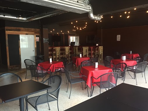
Restaurant nearby Los Naranjos
Puerto Rico
Restaurant nearby Los Naranjos
Los Naranjos
Gato, Orocovis 00720, Portoryko
contacts phone
:
+1-787
Latitude:
18.2694813
, Longitude:
-66.389733
larger map & directions
read more
nearest Restaurant
5 m
Los Naranjos
Sector El Gato, Puerto Rico 155, Orocovis
Restaurant
read more
705 m
Cafetin Los Amigos
Carretera 155
Restaurant
read more
705 m
Cafetin Los Amigos
Puerto Rico 155
Restaurant
read more
1.279 km
Carne Ahumada
Puerto Rico 155, Orocovis
Restaurant
read more
1.476 km
El Chinchorrazo Del Gruñon
Carr. 155 km 33.3 Barrio Gato
Restaurant
read more
1.871 km
El Cofresí
Restaurant
read more
1.948 km
Lechonera BAJARI
Carretera 155, km 39.7, Bo. Perchas, Morovis
Restaurant
read more
1.996 km
Casa Bavaria
Km. 38.3, Puerto Rico 155
Restaurant
read more
2.411 km
Restaurante Roka Dura
Carr. 155 km 31.9 Barrio Gato
Restaurant
read more
2.411 km
Roka Dura
Carr. 155 km 31.9 Barrio Gato
Restaurant
read more
2.412 km
Restaurante Roka Dura
8 Carretera 155, Orocovis
Restaurant
read more
2.915 km
Tierra & Mar Rotisserie
Puerto Rico 155, Orocovis
Restaurant
read more
3.485 km
Rancho de Abuelo
Km. 42, Puerto Rico 155, Morovis
Restaurant
read more
3.581 km
Río Plata
Carretera 155, Orocovis
Restaurant
read more
3.702 km
La Cobacha Criolla
Carr. 155 km. 30.3 Barrio Gato
Restaurant
read more
3.786 km
La Loma Del Che
00687
Restaurant
read more
3.917 km
El Martillazo Chinchorro
Puerto Rico 568, Orocovis
Restaurant
read more
3.955 km
El Pollo Pizza
Botijas
Restaurant
read more
4.055 km
Bertitos
Orocovis
Restaurant
read more
4.065 km
Hacienda Brisa Fresca
Restaurant
read more
4.695 km
Sorbo's
Carr. 155 Barrio Pueblo Calle Degetau C-4, Orocovis
Restaurant
read more
4.75 km
Brisas La Cascada Bar & Grill
Puerto Rico 568, Orocovis
Restaurant
read more
4.766 km
Pueblo Sano
21 Calle Pedro Arroyo, Orocovis
Restaurant
read more
4.848 km
Anibal Sandwiches - El Abayarde
Puerto Rico 6620, Morovis
Restaurant
read more
4.96 km
King's Pinchos
Restaurant
read more
📑
all categories
Accounting
Administrative area level 1
Administrative area level 2
Airport
Amusement park
Aquarium
Art gallery
Atm
Bakery
Bank
Bar
Beauty salon
Bicycle store
Book store
Bowling alley
Bus station
Cafe
Campground
Car dealer
Car rental
Car repair
Car wash
Casino
Cemetery
Church
City hall
Clothing store
Colloquial area
Convenience store
Country
Courthouse
Dentist
Department store
Doctor
Electrician
Electronics store
Embassy
Establishment
Finance
Fire station
Florist
Food
Funeral home
Furniture store
Gas station
General contractor
Grocery or supermarket
Gym
Hair care
Hardware store
Health
Hindu Temple
Home goods store
Hospital
Insurance agency
Jewelry store
Laundry
Lawyer
Library
Liquor store
Local government office
Locality
Locksmith
Lodging
Meal delivery
Meal takeaway
Mosque
Movie rental
Movie theater
Moving company
Museum
Natural feature
Neighborhood
Night club
Painter
Park
Parking
Pet store
Pharmacy
Physiotherapist
Place of worship
Plumber
Point of interest
Police
Political
Post office
Premise
Real estate agency
Restaurant
Roofing contractor
Route
Rv park, camping
School
Shoe store
Shopping mall
Spa
Stadium
Storage
Store
Subpremise
Supermarket
Synagogue
Taxi stand
Train station
Transit station
Travel agency
University
Veterinary care
Zoo
sublocality level 1
↑